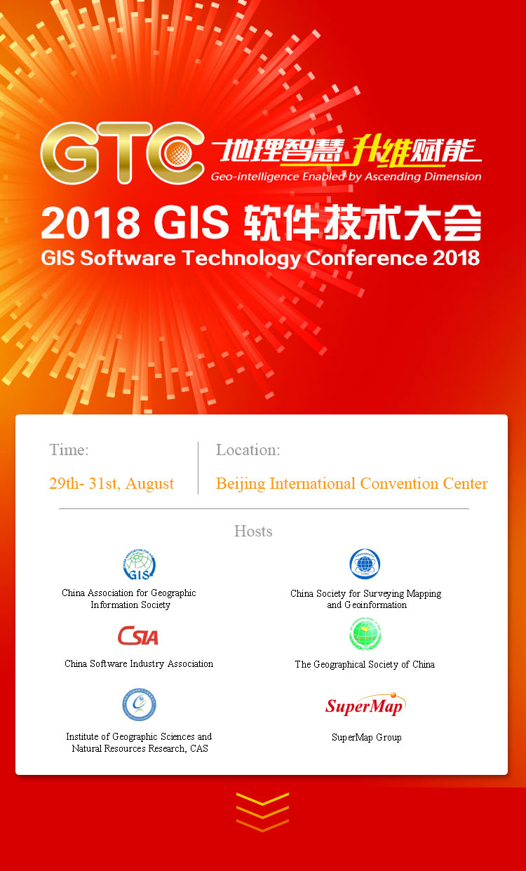

China Association for Geographic Information Society

China Society for Surveying Mapping and Geoinformation

China Software Industry Association

The Geographical Society of China

Institute of Geographic Sciences and Natural Resources Research, CAS

SuperMap Group
Between 29th and 31st, August, 2018, GIS Software Technology Conference 2018 with the theme of ‘Geo-intelligence Enabled by Ascending Dimension’ will be held in Beijing International Convention Center, China.
The conference will focus on the breakthroughs in 3D GIS and big data GIS, exploring the combination of ‘AI + GIS’, displaying application cases and sharing industrial solutions.
The conference will invite academicians, governmental officials, and experts from major internet companies and GIS companies to discuss the direction and trend of the industry.
The conference will last for 3 days, setting 1 plenary conference and 17 parallel sessions. The parallel sessions will include an international session, inviting GIS experts from all over the world to share opinions on GIS industry and display typical industrial applications.
GTC Organizing Committee sincerely invites you to participate in the conference.
Geographic designing has entered a brand-new phrase, how can 3D geographic designing be applied in urban designing, project designing, etc., and how to support and serve spatial planning of land resource in new era?
BIM + GIS, CIM + GIS are being paid more and more attention in the industry, how to advance the seamless integration of BIM, CIM and GIS, getting the effects of ‘1+1>2 ’? How to use BIM + GIS, CIM + GIS to upgrade spatio-temporal dimension of management in smart city and major projects, realizing complete management in both time and space?
Spatial Big Data Technology has become an important thruster for economic and social development, how to improve professional spatial big data capability? How to apply spatial big data technology into various industries?
Artificial Intelligence (AI) has made major breakthroughs in recent years. How to combine AI and spatial dimension, exploring the application of modes of ‘AI+GIS’ and letting GIS become more intelligent?
August 29th, 09:00-17:30, Convention Hall No.1 (The 2nd Floor) |
|
| Host | |
The Core of Network Security is Technology SecurityResearcher of the Computer Institute under China Academy of Science Network security is the foundation of national security and the guarantee of economic security, social security and people's livelihood safety. The core of network security is technology security. What are the risks of the current network? Where are the short boards of chips and basic software? Why is independent innovation the only way for us to reach the peak of world’s science and technology? |
|
The Foundation and Connotation of Intelligent BrainHow to strengthen the digital foundation of the city and help to reach the new height of smart city construction? How to make urban governance achieve overall insight management, and make win-win situation of urban development and people's sense of gain improvement? How to realize the meticulous development of data driving urban planning? |
|
Operating system: GIS in Smart CityNowadays, the Smart City construction is developing rapidly. There are various kinds of schemes but all involves GIS technology. But is GIS technology necessary? What kind of role does GIS play in the Smart City construction? |
|
Geo-intelligence Enabled by Ascending Dimension of GIS TechnologyWhat kind of technology ascending does information technology bring to GIS software in the ABCDE era? GIS software now is moving towards the total space 3D management. However, there is still major flaw in data model. Then, how to make a breakthrough? |
|
| Break Time/Demonstration | |
New ICT, Creating Smart City Nervous SystemWhat kind of citiy can be called Smart City? The expert from HUAWEI will share about why there needs nervous system, what are the nervous systems, how to form the city organisms. Why does HUAWEI want to build a smart city ecosystem? What are the values of HUAWEI's ecosystem? |
|
Thinking on information support for land use controlThe control of the use of all land and space is an important part of the "three unifications" in the reform of the central ecological civilization system. How to construct an information system to serve the whole process of decision-making, implementation and supervision according to the new requirements for the control of land using? How to build a big data platform which covers all elements of land space to promote the in-depth application of modern information technology in land and space planning, construction land approval and space development and utilization management? How to improve the modernization of land space governance capability? |
|
The Progress and Prospect of Big Data GIS Software TechnologyThe Progress and Prospect of Big Data GIS Software Technology Li Shaojun, Senior Vice President of SuperMap Group President of SuperMap Research Institute Professorate Senior Engineer SuperMap published the SuperMap GIS 9D with the product system of big data in GTC 2017. What are the new developments of the new edition in this year? What are the commendable actual project cases? What kind of plans does SuperMap have for the big data in the future? |
|
The Progress and Prospect of New Generation 3D GIS Software TechnologySuperMap led the introduction of new generation of 3D technology in 2017. With two wheel drive of data and technology, what is the further upgrading of the new generation of 3D GIS this year? How does SuperMap help 3D geographical design to empower digital translation? How does SuperMap GIS technology to empower BIM and to ascend dimension of CIM. |
|
Application of 3D Geographic Design Cloud Platform in Hongkong Urban PlanningAs everyone knows, the house prices of Hongkong is the most expensive in the world. How does the Hongkong government and the design and consulting companies improve the collaborative efficiency and rationality of design and planning specialties, and improve the quality control of construction operation and maintenance in the later period by making use of high-precision 3D GIS data, cloud computing and BIM technology? |
|
Application Exploration of the New Generation of 3D GIS in Germany Underground Pipe NetworkGermany is famous for its industrial norms and strict technical standards. It has very high requirements for foreign software. How does a Chinese software enter the German market? Under the premise that 3D GIS has not been widely recognized in Germany, how is the new generation of 3D GIS applied in the infrastructure construction in Germany? |
|
| 9:00-17:30 | International SuperMap User Forum |
| GIS International Education Forum | |
| New Technologies of SuperMap GIS: Big Data and Cloud GIS | |
| New Technologies of SuperMap GIS: New Generation of 3D GIS | |
| IT Technologies Controllability Forum | |
| Military GIS Technologies Forum | |
| Mapping and Natural Resource Investigation Forum | |
| Mapping and Resource Informatization Forum | |
| Land Resource Integration Forum | |
| New Smart City Forum: Spatial Information Sharing Services | |
| New Smart City Forum: Multi-network Integration | |
| BIM/CIM + GIS Forum | |
| Transportation GIS Forum | |
| Emergency and Public Safety GIS Forum | |
| Environment and Disaster Relief GIS Forum | |
| Address Name Informatization Forum |
| 9:00-17:30 | SuperMap GIS Developer Forum |
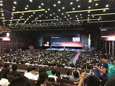
10,000+ participants on site
20,000+ online viewers
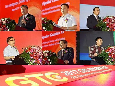
14 keynote speeches
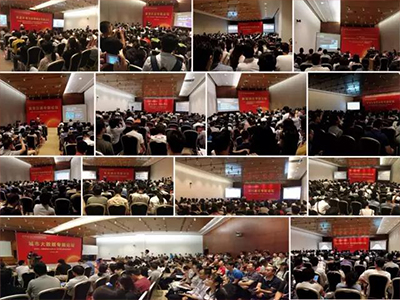
14 parallel sessions, 150 presentations
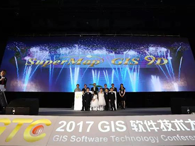
SuperMap GIS 9D release

Executive Vice President of China Association for Geographic Information Society

Former Minister of Ministry of Science and Technology、 Academician of Chinese Academy of Sciences

Deputy Director of China National Administration of Surveying, Mapping and Geoinformation

Director of Informatization and Software Department of Ministry of Industry and Information Technology

Academician of the Chinese Academy of Sciences

Chair of the Board of SuperMap Group
Chief Data Architect of Cloud Business Group of Alibaba Group

Senior Director of Tencent Big Data
Executive Vice President of China Association for Geographic Information Society
Former Minister of Ministry of Science and Technology、 Academician of Chinese Academy of Sciences
Deputy Director of China National Administration of Surveying, Mapping and Geoinformation
Director of Informatization and Software Department of Ministry of Industry and Information Technology
Academician of the Chinese Academy of Sciences
Chair of the Board of SuperMap Group
Chief Data Architect of Cloud Business Group of Alibaba Group
Senior Director of Tencent Big Data

SuperMap LinkedIn
Conference Hotline: +86 186 2907 8752
Social media: YouTube Facebook Twitter LinkedIn
SuperMap Website: https://www.supermap.com/en-us/
Conference E-mail: zhangjiawei@supermap.com zhangyuanyuan@supermap.com